
Living Map
Show the system moving.
Living Map explains Farmerline and Mergdata as one connected agricultural network: farmers, agents, technology, finance, markets and proof moving across the same field of action.
01
Strategic Role
This concept is for audiences who need to understand the full business system quickly. It turns the abstract relationship between Farmerline and Mergdata into a visual network.
The visitor sees how farmers, agents, finance, products, markets and proof connect before they are asked to click into modules.
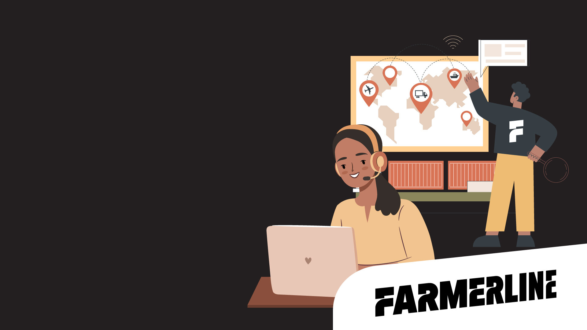
The map metaphor shows that Farmerline is not just a software vendor. It is a coordinated field-and-platform operation.
Mapped acres, traceability, farmer profiles and partner coverage are all easier to believe when they are spatially represented.
02
Map Logic
The page is structured as a connected field map. Each node represents a real part of the Farmerline/Mergdata ecosystem.
Core Nodes
Farmer, Agent, Platform, Finance, Market and Proof. These are deliberately plain-language labels, not internal product names.
The map teaches the business first. Product names appear after the visitor understands the system.
Farmer
Profiles, training, inputs, advisory and market participation.
Agent
Field visits, verification, collection and local support.
Platform
Mergdata products connecting data, decisions and reporting.
Finance
Credit readiness, payments, risk and partner confidence.
03
Colour System
The palette is cartographic and sophisticated: Farmerline turquoise, Mergdata yellow, field parchment, signal blue and warm soil tones.
Map Teal#00A894
Route Glow#D7FF42
Data Blue#289BFF
Field Paper#F3EFE7
Amber Marker#FFA000
Soil Ink#2B1B12
04
Typography
Living Map needs a type system that feels precise and warm at the same time. It should not look like a GIS tool for specialists.
No more boxes. Show the system.
PP Agrandir gives the map concept a strong editorial voice. Aeonik Fono supports map labels, coordinates and layer names.
Large, compact and clear for strategic claims.
Use for node labels, route controls and layer states.
Use for explanations so the map remains approachable.
05
Layer System
The visual system borrows from maps without becoming technical. Layers show how the same field can contain training, finance, traceability and market movement.
Farmers, agents, cooperatives and field teams.
Acres, farms, biodiversity, forest cover and risk.
Credit readiness, repayment, payments and finance partners.
Dashboards, reports, traceability and compliance evidence.
06
Layout System
Navigation becomes a rail of nodes rather than a horizontal menu. This helps the site feel like a world the visitor is moving through.
Open on the network
The first screen shows the whole system, not one product.
Zoom into nodes
Each section explains a role in the system and the products behind it.
Translate to proof
The user sees measurable outcomes rather than abstract platform claims.
07
Imagery and Graphics
Imagery should move from field reality to intelligence overlay. The best frames show people, land and proof in the same composition.
Traceability
Use routes, markers and chain-of-custody visuals to show movement from farm to market.

Field Network
Use agent imagery so the platform never feels disconnected from real implementation.
Measurement
Use map surfaces, acreage markers and layer cards as proof devices.
08
Audience Journeys
Living Map works especially well for buyers, governments and development partners who care about coordination and evidence.
Sees sourcing, traceability, farmer verification and market movement as one connected flow.
Sees how a national or regional program can be trained, mapped, financed and reported.
Sees impact measurement, field coordination and credible reporting without technical jargon.
09
Production Guardrails
The concept should feel like strategic geography, not a complicated software map.
Use node labels, route lines, layered cards and plain-language explanations. Keep product names secondary until the visitor understands the system.
Overload the page with coordinates, technical map controls or dashboard UI. Non-technical leaders need orientation, not a GIS console.
CEO line: Stop explaining Farmerline in boxes. Show the system moving.